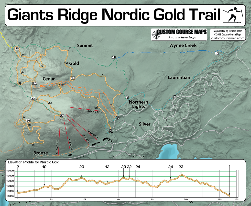
Giants Ridge recently replaced the trail maps that are located at various intersections among the Nordic Ski/Mountain bike trails. The signs inform users of their location within this network that encompasses close to 2600 forested acres. It’s not a good place to get lost or confused about how to return to the place you started which is why I find it odd that while the physical maps were upgraded, the trail information was not updated. The trail maps do not accurately represent where the trails are located. The intersections are not in proportion so that the visual distance between them does not represent real world distance.
In looking at various maps that are produced for Nordic skiing events I see the same lack of proportion.